Dhar
A district of western Madhya Pradesh in the Indore Division — 8,153 square kilometres, a Scheduled Tribe majority, and a documented history running from the rock-cut Bagh Caves to the fortress city of Mandu.
District area. Dhar lies in the Indore Division of western Madhya Pradesh.
- Source
- District administration, Dhar
- Year
- Current administrative area
- Geography
- Dhar district
- Context
- District boundary, not the parliamentary constituency boundary.
An increase of 25.60 per cent on the 2001 figure of 17,40,329.
- Source
- Census of India
- Year
- 2011
- Geography
- Dhar district
- Context
- The most recent decennial Census figure available. Not a current-year estimate.
12,22,814 persons, of whom 11,42,263 lived in rural areas. Scheduled Castes formed 6.65 per cent.
- Source
- Census of India
- Year
- 2011
- Geography
- Dhar district
- Context
- The demographic basis on which the Lok Sabha seat is reserved for Scheduled Tribes.
District sex ratio recorded at 961 females per 1,000 males.
- Source
- Census of India
- Year
- 2011
- Geography
- Dhar district
- Context
- Aggregate district literacy. Female literacy is lower than the aggregate in most districts of this profile.
Eight assembly segments
The Dhar Lok Sabha constituency is reserved for Scheduled Tribes. It covers the whole of Dhar district together with part of Indore district, and recorded 1,193,065 electors.
Representation
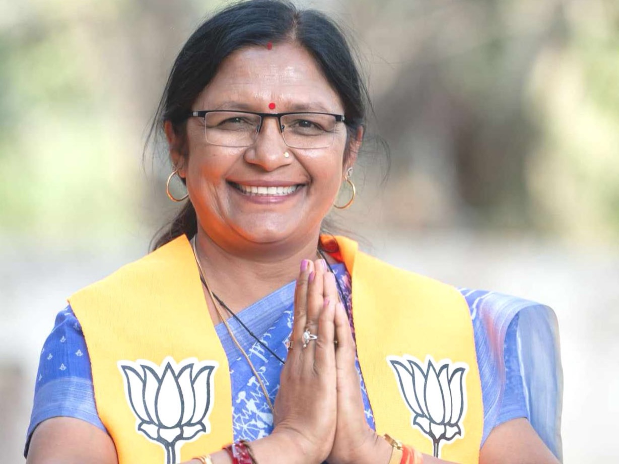
Smt. Savitri Thakur was elected from Dhar in 2014 and again in 2024. In 2024 she received 794,449 votes, or 55.75 per cent, with a margin of 218,665 over the runner-up. In 2014 she received 558,387 votes, or 51.84 per cent, with a margin of 104,328.
The full sequence of results, including the intervening 2019 election at which she was not the elected member, appears on the Parliamentary Journey page.
Neighbouring districts
Dhar is bounded by Ratlam to the north, Ujjain to the north-east, Indore to the east, Khargone — West Nimar — to the south-east, Barwani to the south, and Jhabua and Alirajpur to the west. The western boundary districts share the same broad tribal-majority demographic profile.
A district with a long record
Dhar carries a documented architectural and archaeological record of national significance. The sites below are recorded in the district’s official listing of notable places.
Mandu
A hill fortress city within the district, including the Jahaz Mahal — the “ship palace” set between two water tanks. Among the most visited heritage sites in Madhya Pradesh.
Bagh Caves
A group of rock-cut caves in the district, known for their mural painting and cut into the rock face in the manner of the western Indian cave tradition.
Dhar Fort
The fort at the district headquarters town of Dhar, from which the town takes its historical prominence.
Bhojshala
A monument at Dhar of long-standing historical and archaeological interest, listed among the district’s principal heritage sites.
The themes a district of this profile presents
What follows is analytical context derived from the district’s recorded demographic and administrative profile. It is not a list of works completed, and no constituency achievement is claimed anywhere on this page.
Tribal development
With 55.94 per cent of the district population belonging to Scheduled Tribes at the 2011 Census, and the overwhelming majority of that population rural, tribal development is the district’s defining policy frame.
Literacy and education
A recorded district literacy rate of 60.57 per cent at the 2011 Census places education access, retention and girls’ schooling among the district’s standing priorities.
Agriculture and livelihood
Agriculture is the predominant livelihood. Skill training, self-help group formation and access to institutional credit are the standard instruments for diversifying rural household income.
Women and child services
Anganwadi services, maternal nutrition and child protection reach this district through the same national programmes described on the Nutrition and Child Development pages.
Heritage and tourism
Mandu and the Bagh Caves give the district a documented heritage tourism base, with the associated questions of conservation, access and local livelihood that such sites carry.
Connectivity
The constituency extends into part of Indore district, linking a predominantly rural tribal-majority district to the State’s largest urban economy.
This page sets out the district’s recorded geography, demography, heritage and development context. It does not list projects, sanctions, funds or completions attributed to the sitting Member of Parliament, because no verified itemised record of these has been sourced for this archive. Public issues connected to the constituency are set out, with their evidentiary basis, on the Public Issues page.